

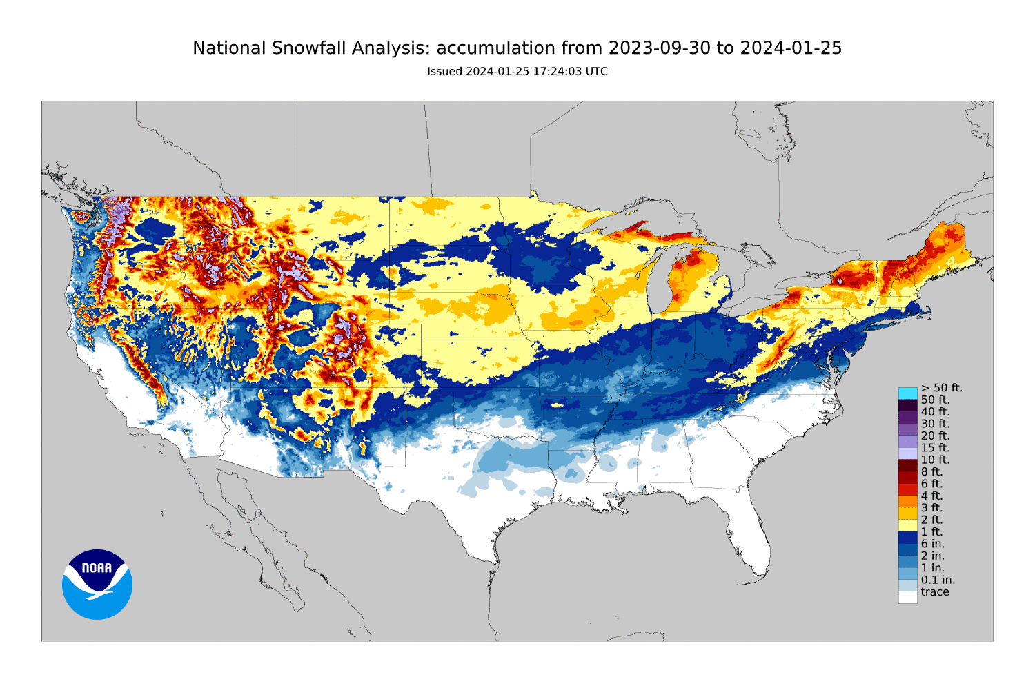
After a wintry period, things are finally settling down. Here is a look at how much snow has fallen this year up to this point.
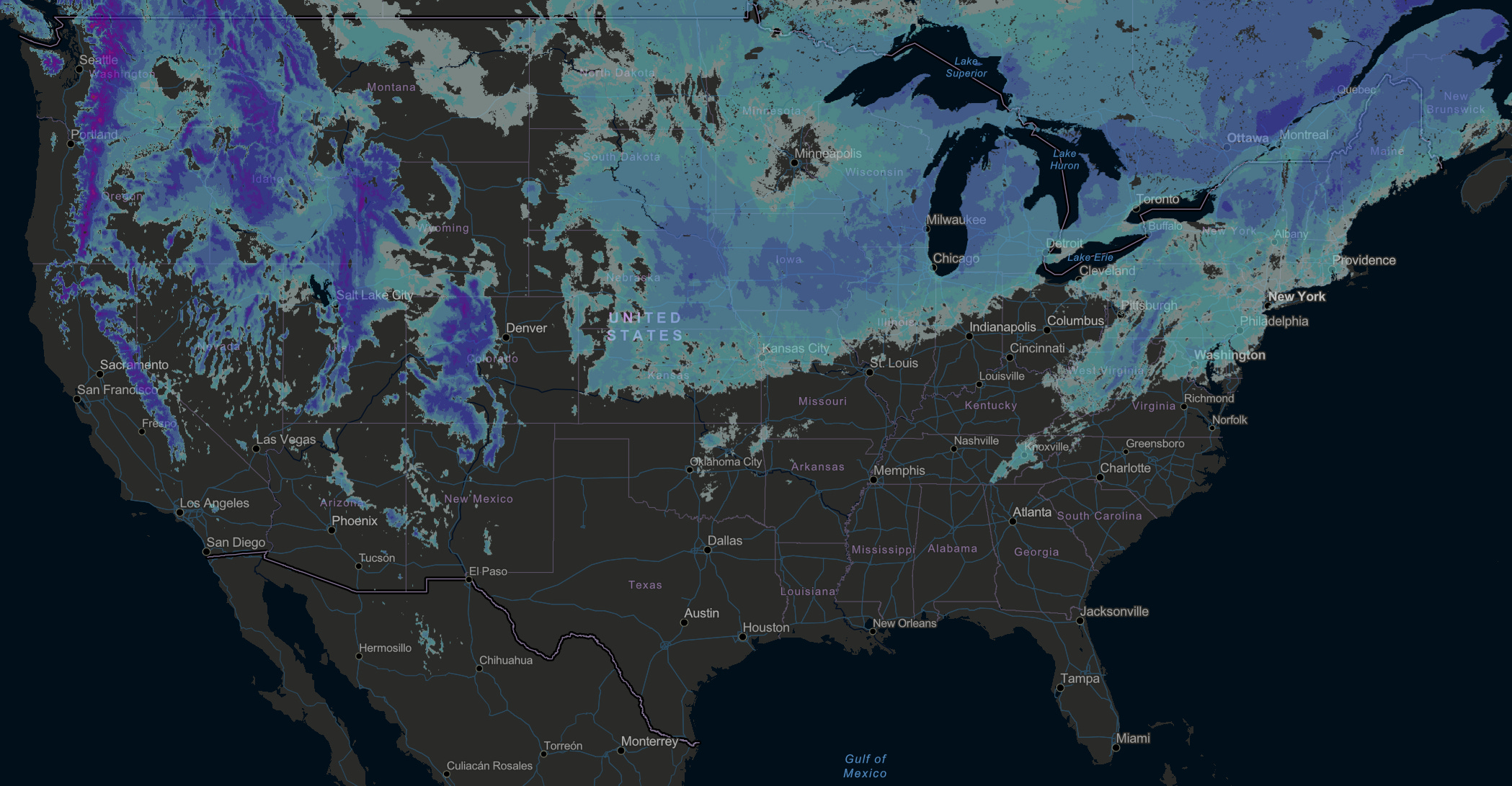
Snowfall has really filled in for the Mid-Atlantic and Midsouth. A look at the snow cover:
Much of the snowpack has melted across the Lower half of the Lower 48, and this period of warmer than average temperatures will not help in making this snow stay.
Many rain makers will soak much of the East Coast through the end of January, melting snow. The period after that has looks of a very snowy and cold period - Mid-February into March. I haven’t seen such a strong signal of a wintery pattern like this in a long time. With the way winter is already going, this year could end off above average in terms of snowfall for many in the South and Eastern third of the US.

You may already know, but this year we are in a mod-strong El Nino - better for snow across the East Coast. You can read more about this in this article.
As we go into February, I think early-mid February is when this wintry period could start, lasting possibly into March. This is when we could see the big snowstorm across the Central, Southern, and Eastern US.
I will be continuing to track any future winter storms - so stay tuned. Let’s get back to the present.
Into February
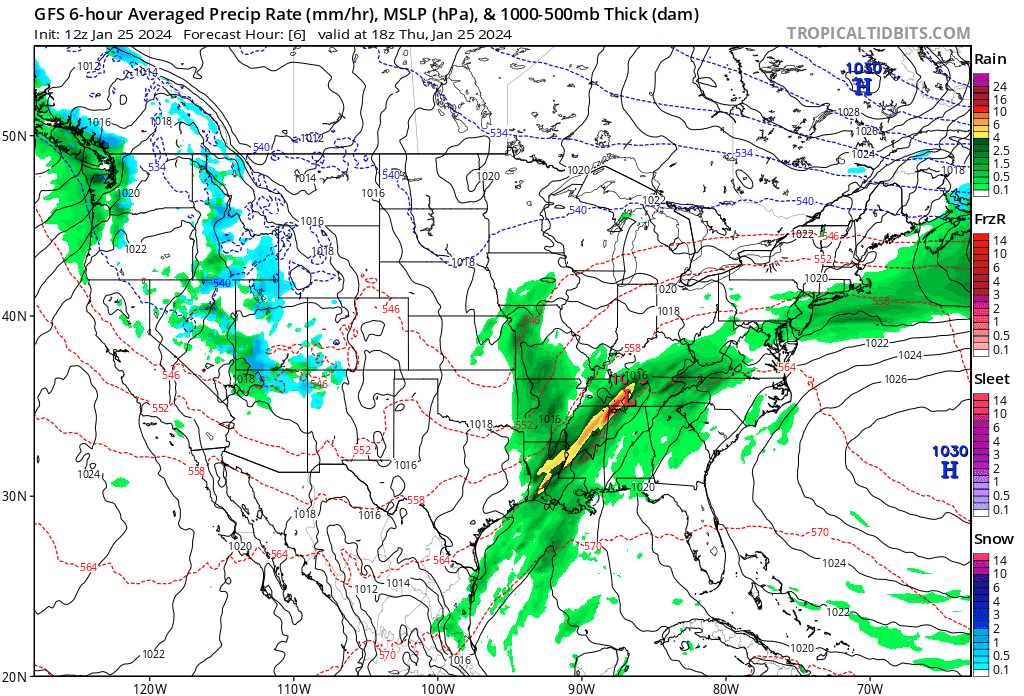
The model run above goes until Feb. 1. Refer to the chart on the right for precipitation types. Things could still change as this is one model run.
A train of moisture is being flung into the Eastern as well as Western US leading to many rainy days throughout the rest of this week. The Midwest and Central US should remain dry and pleasant. More on and off rain across the West Coast, and especially the Pacific Northwest.
The main thing to watch will be a possible “minor” snowstorm across parts of the interior Northeast as we go into the work week next week. Travel could be an issue, but right now this does not look like anything too big for major cities, mainly a rain maker.
Another clipper system could move down into the Ohio Valley and Mid-Atlantic mid-week, bringing light precipitation of some form.
A quieter period is possible for a few days in the transition into February. Watching another storm system Feb 3-6. After that is where the signal for a colder period begins in about 2 weeks.
Temperature outlook for the next 15 days looks pleasant, I do not see a very cold arctic blast nor a very big warm up.
Precipitation
A look at possible rain amounts through the end of January.
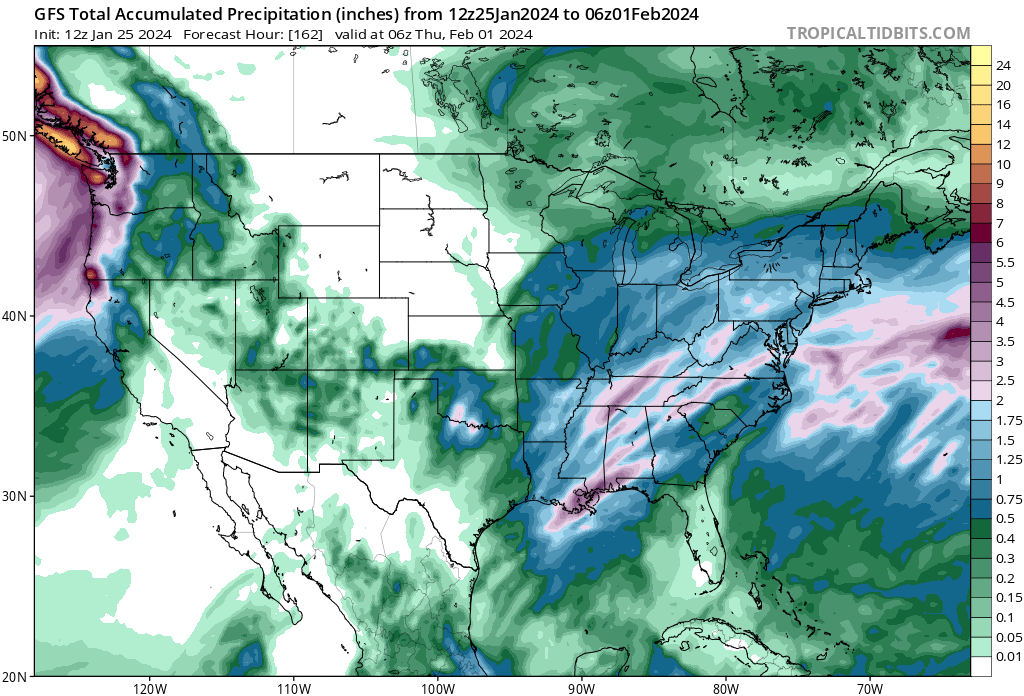
Widespread inch to two inch rain totals possible across much of the Eastern US.
I hope to have an update for you before Feb 5. Stay tuned and subscribe!